|

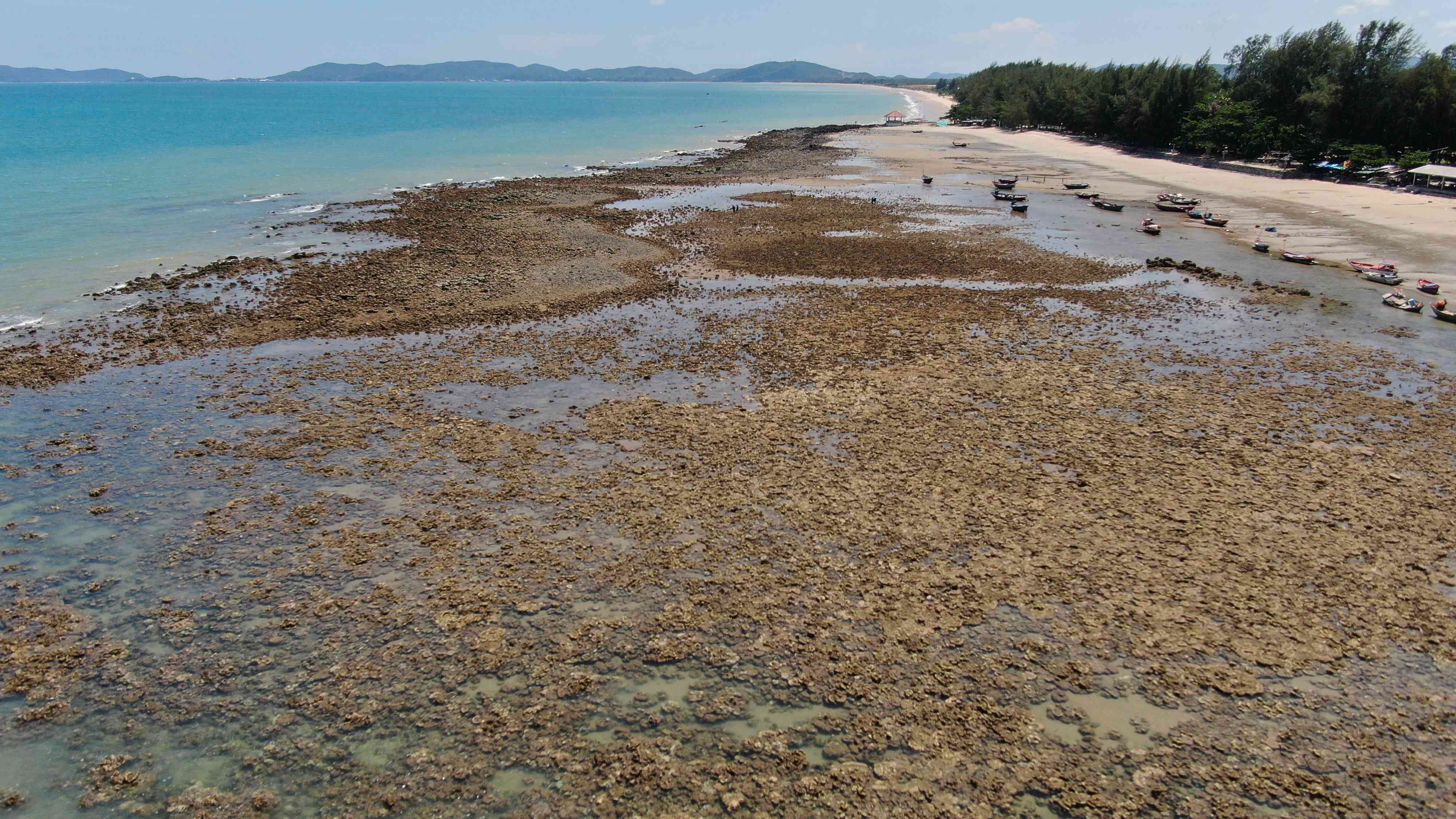
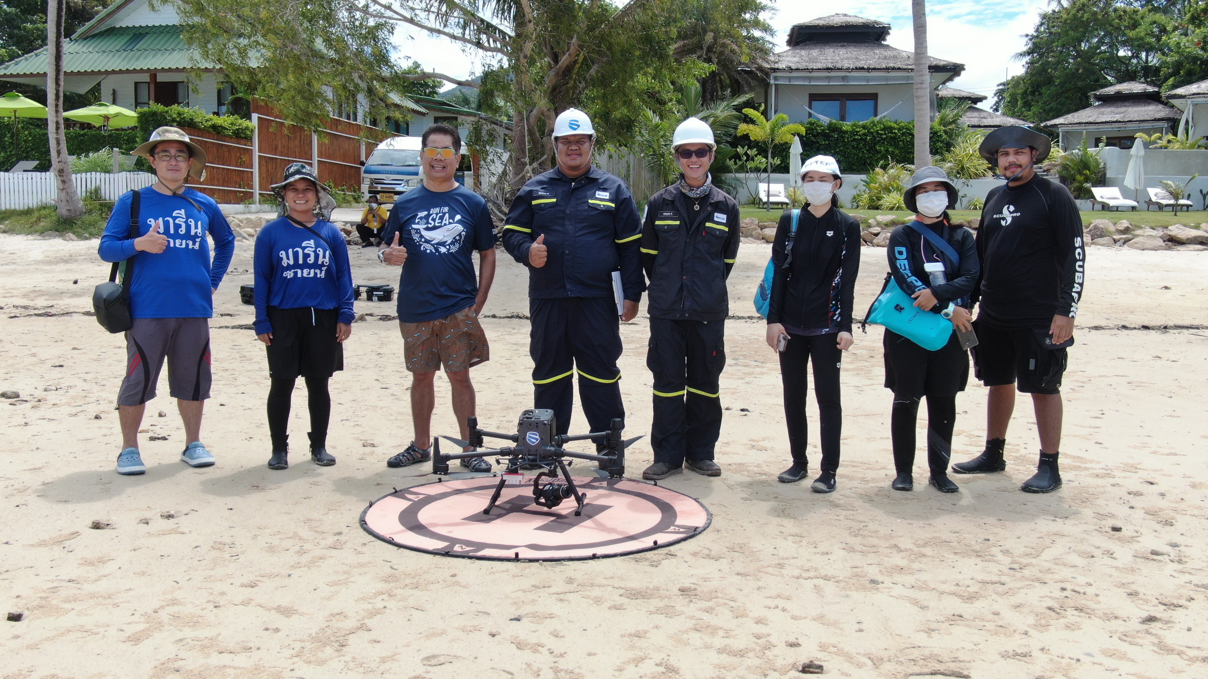
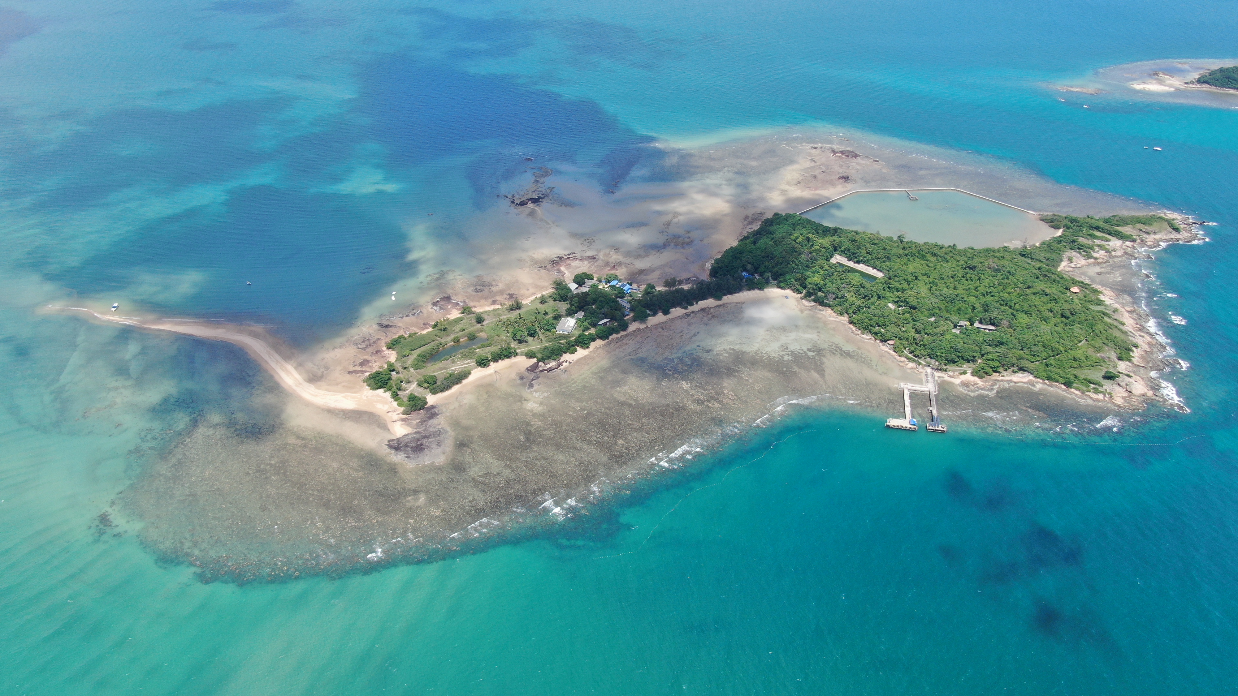
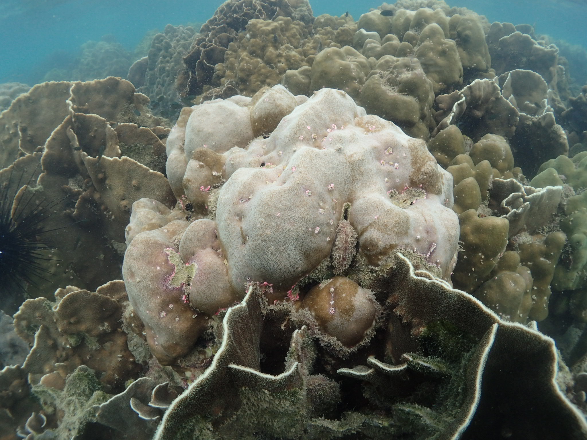
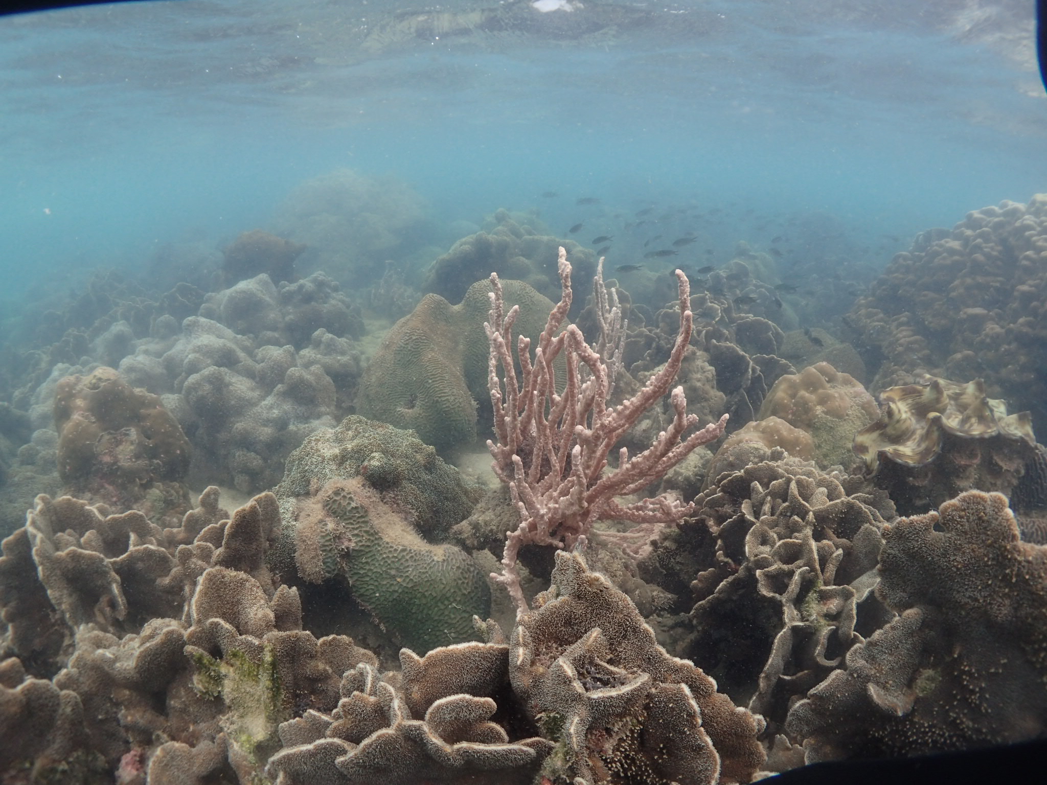
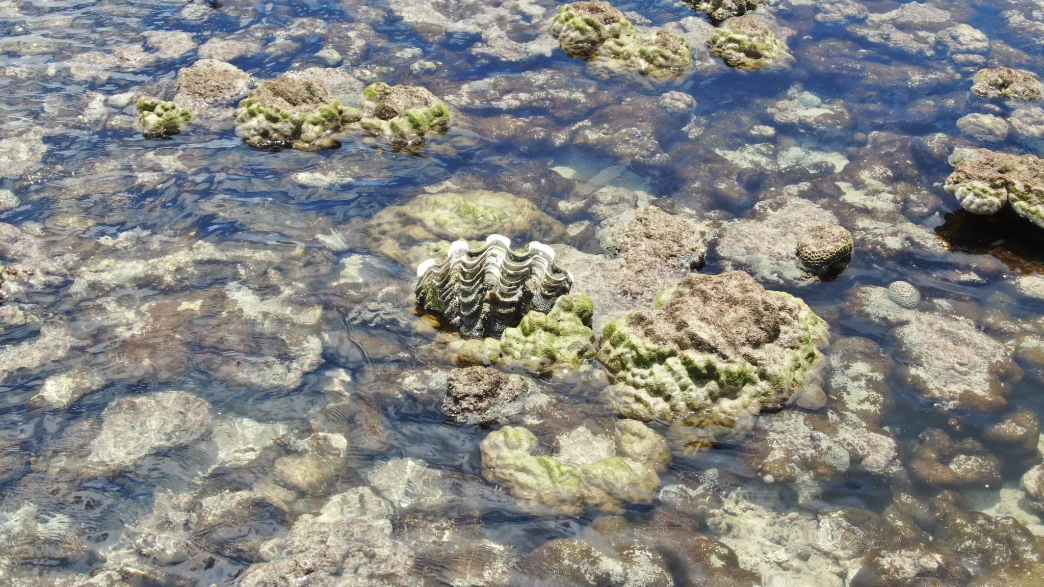
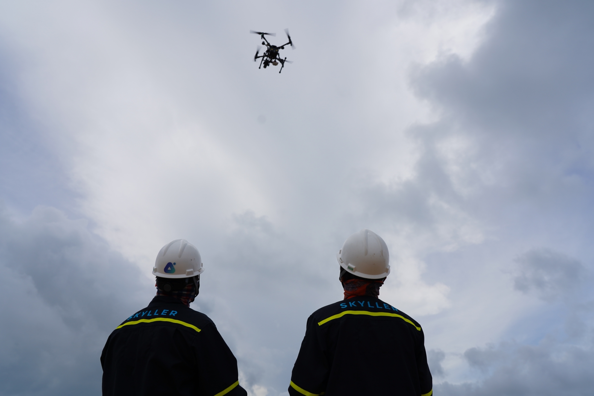
Global warming and rising seawater temperature have significant impacts on coral reefs, also known as “coral bleaching” and direct impacts on biodiversity. In 2021, PTTEP, in collaboration with Kasetsart University has launched the “coral bleaching and biodiversity monitoring in coral reef ecosystem areas in Koh Mannai and Hin Tuoy Hoi in Rayong Province as well as ecosystem mapping development using drone’s multispectral imaging application” project, with the expertise provided by AI and Robotics Ventures Company Limited (ARV) for the first time in Southeast Asia.
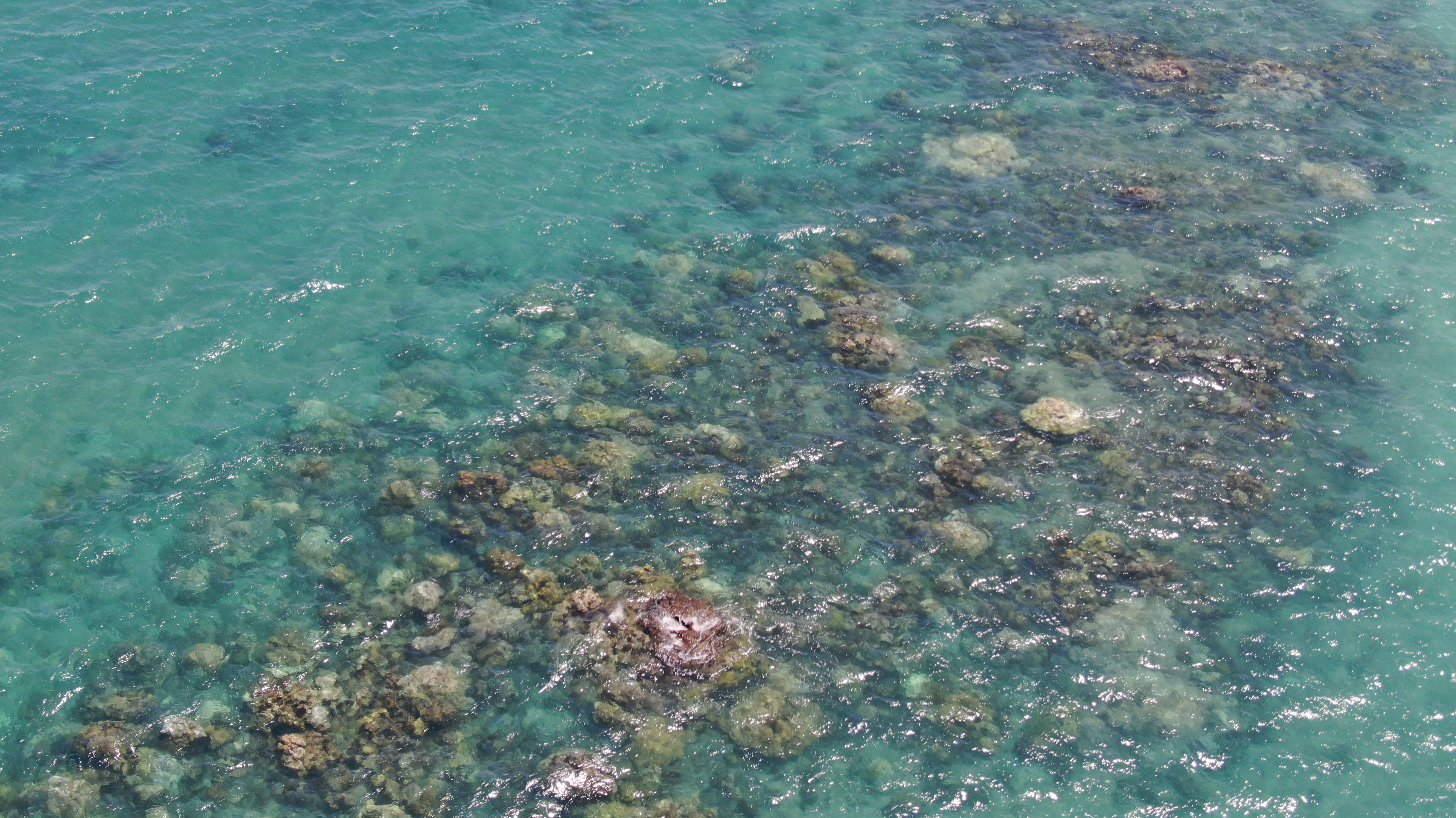
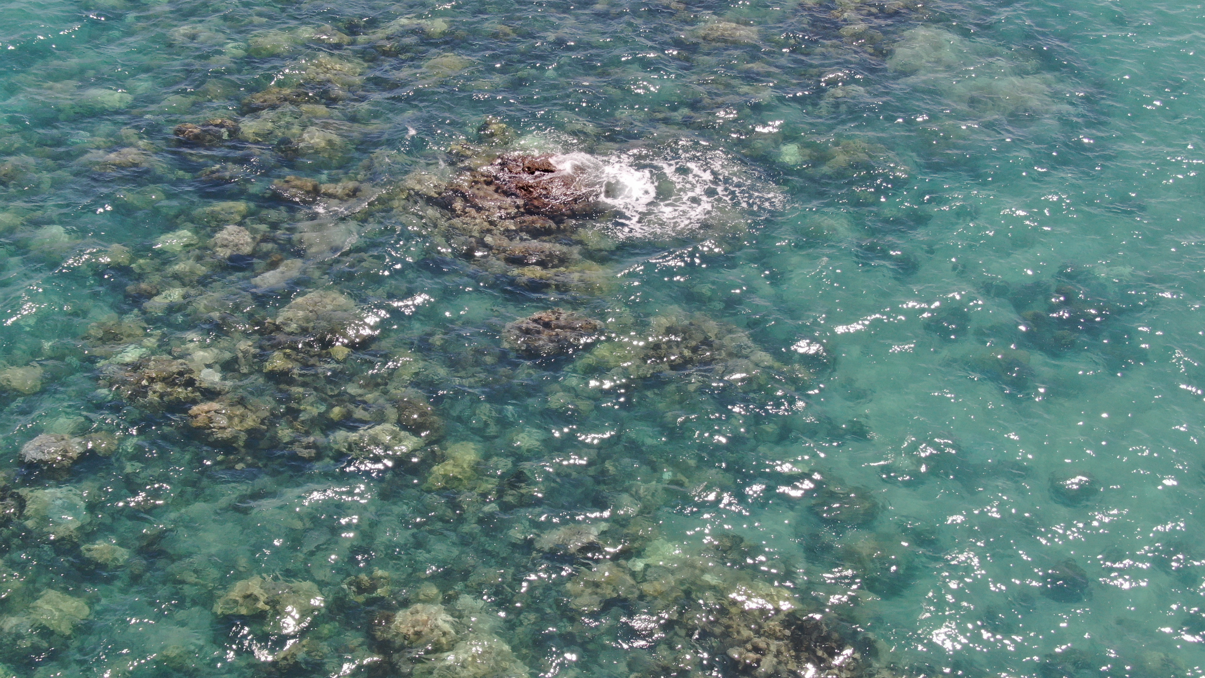
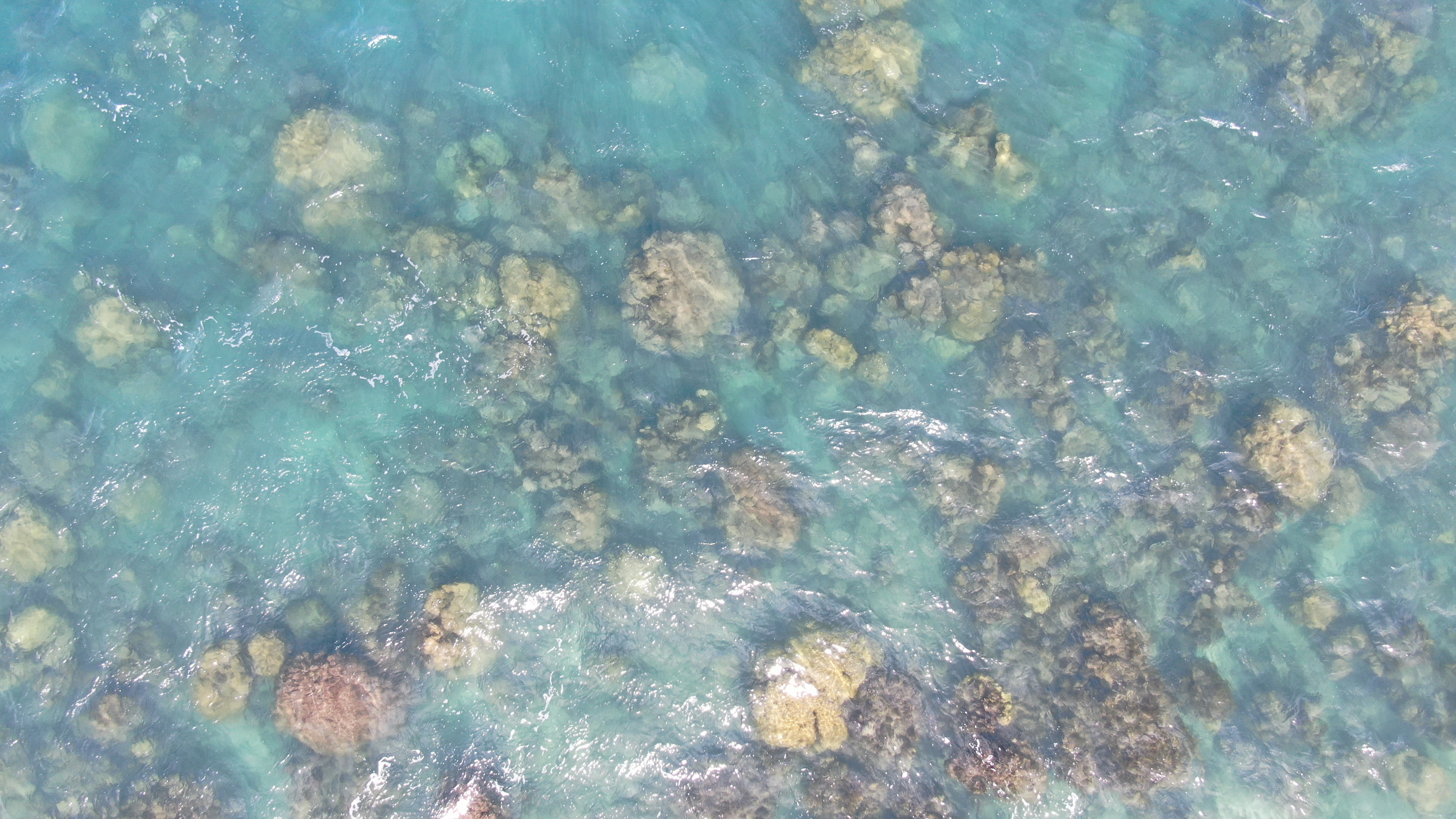
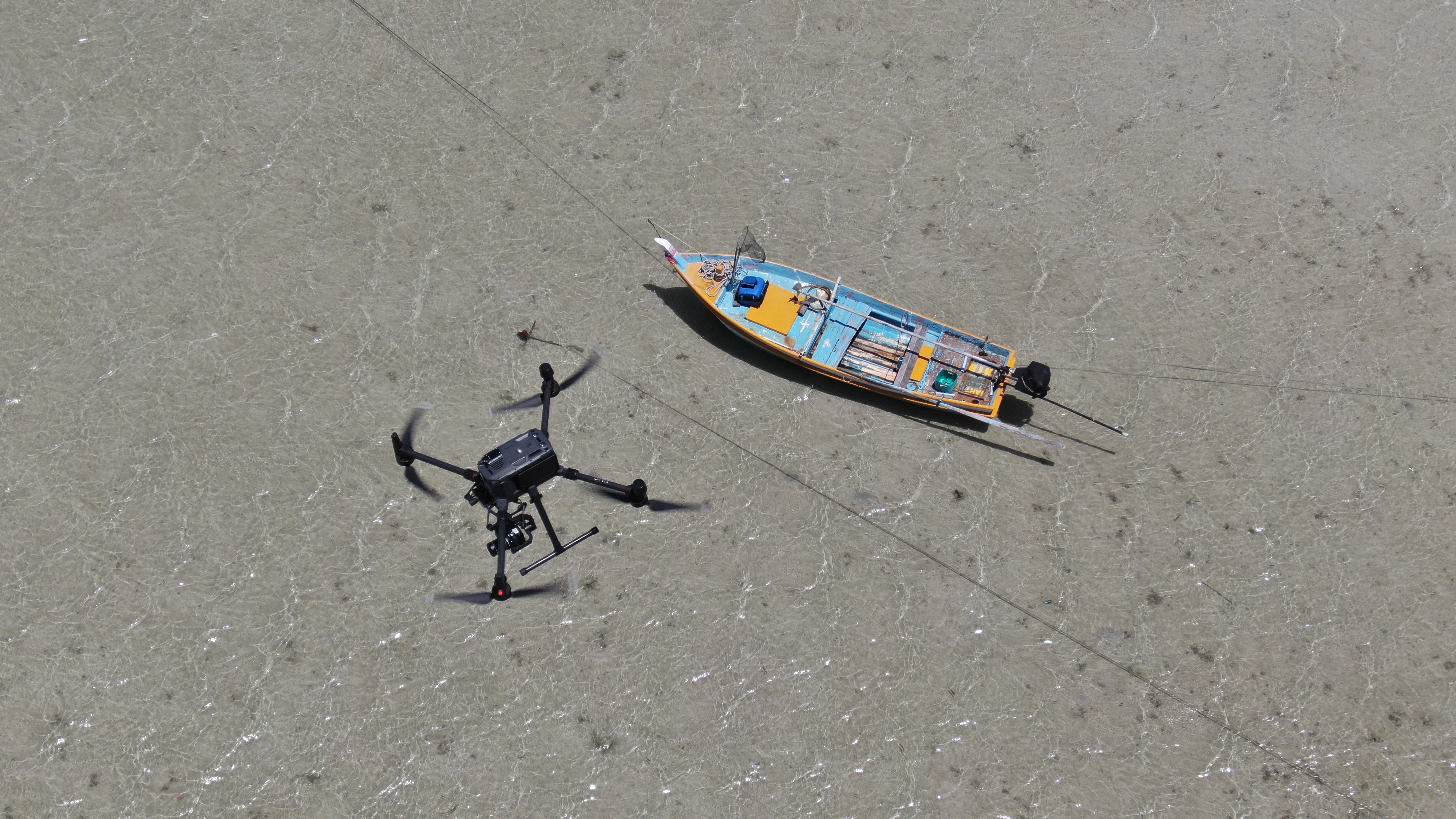
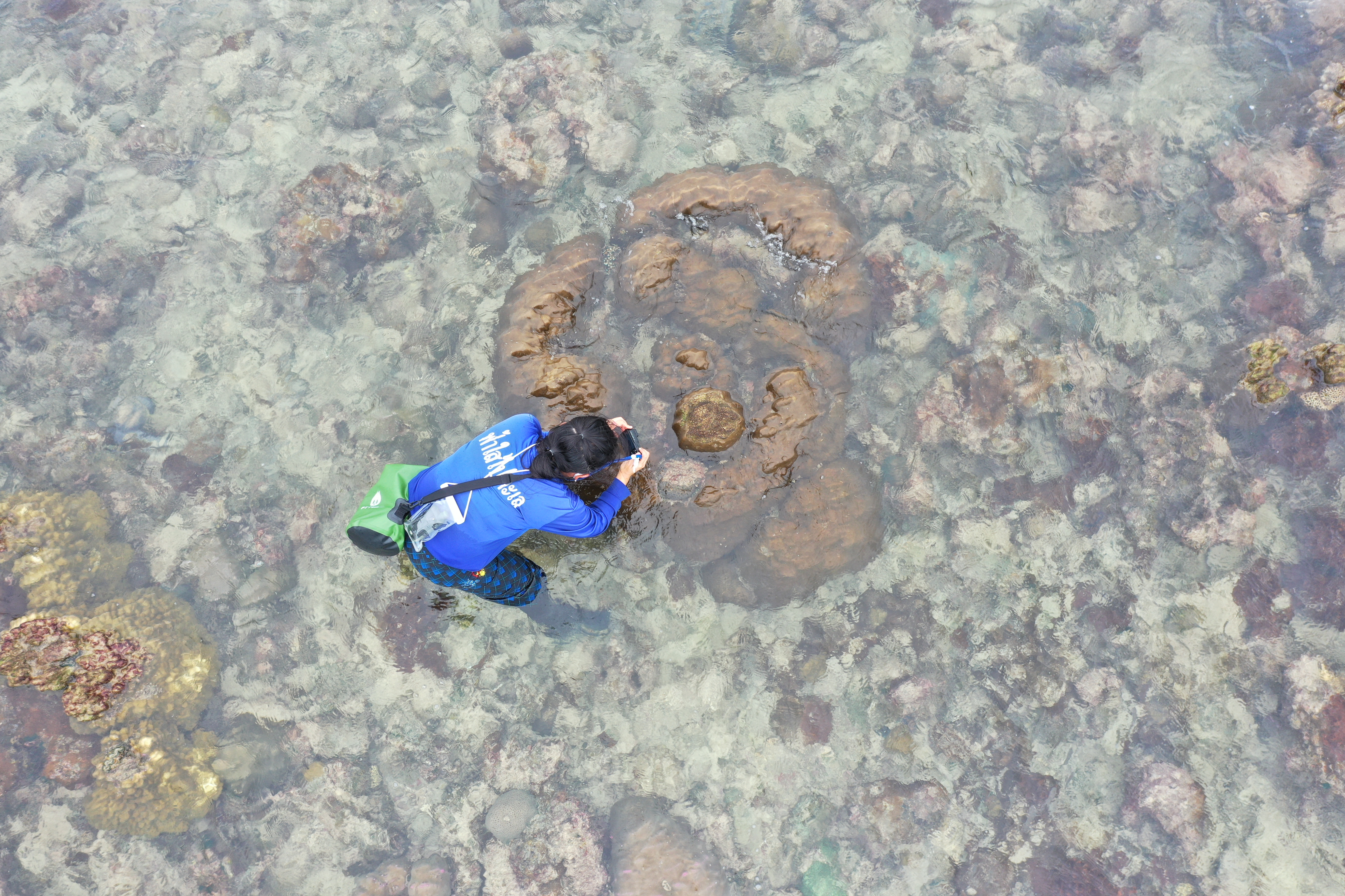
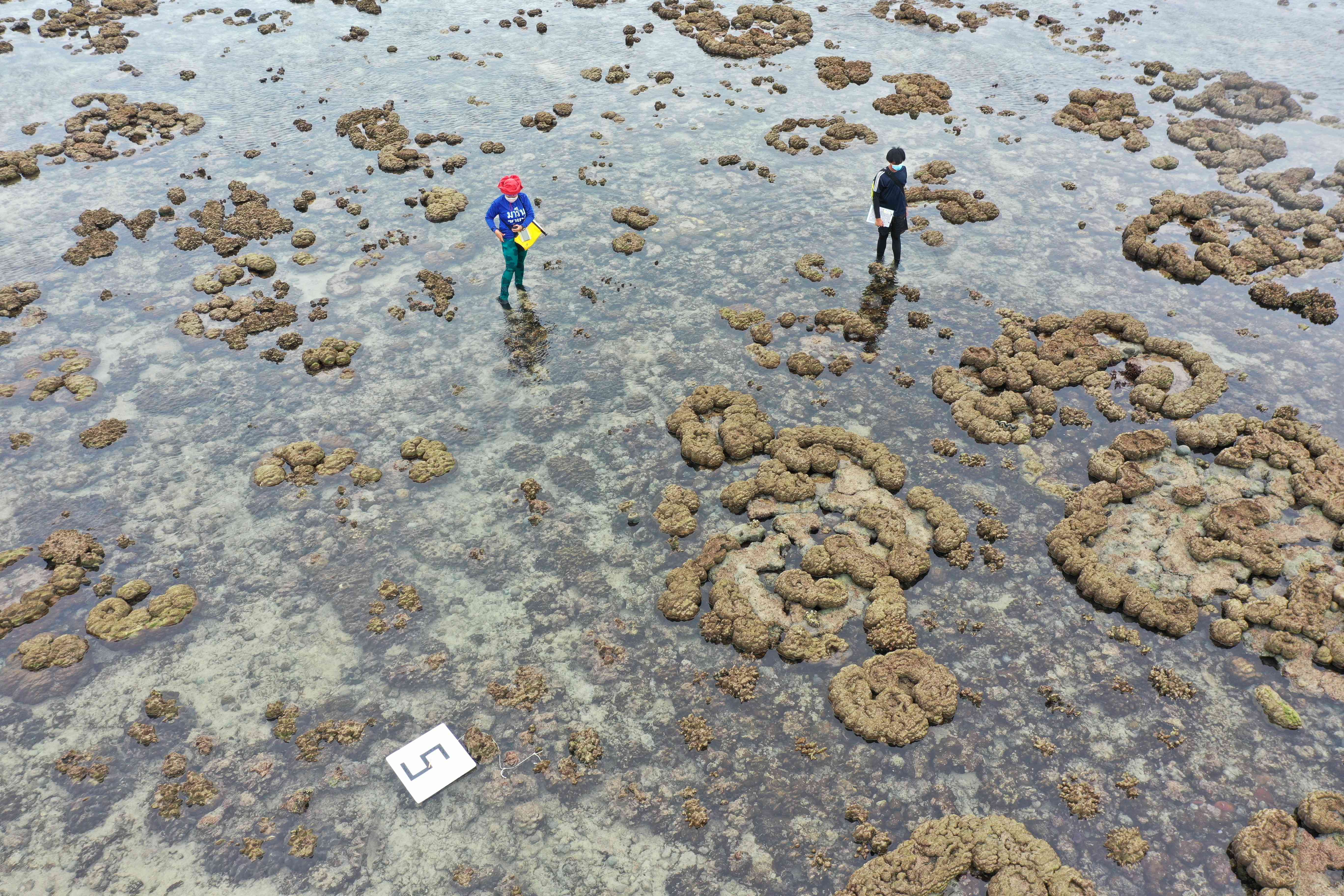
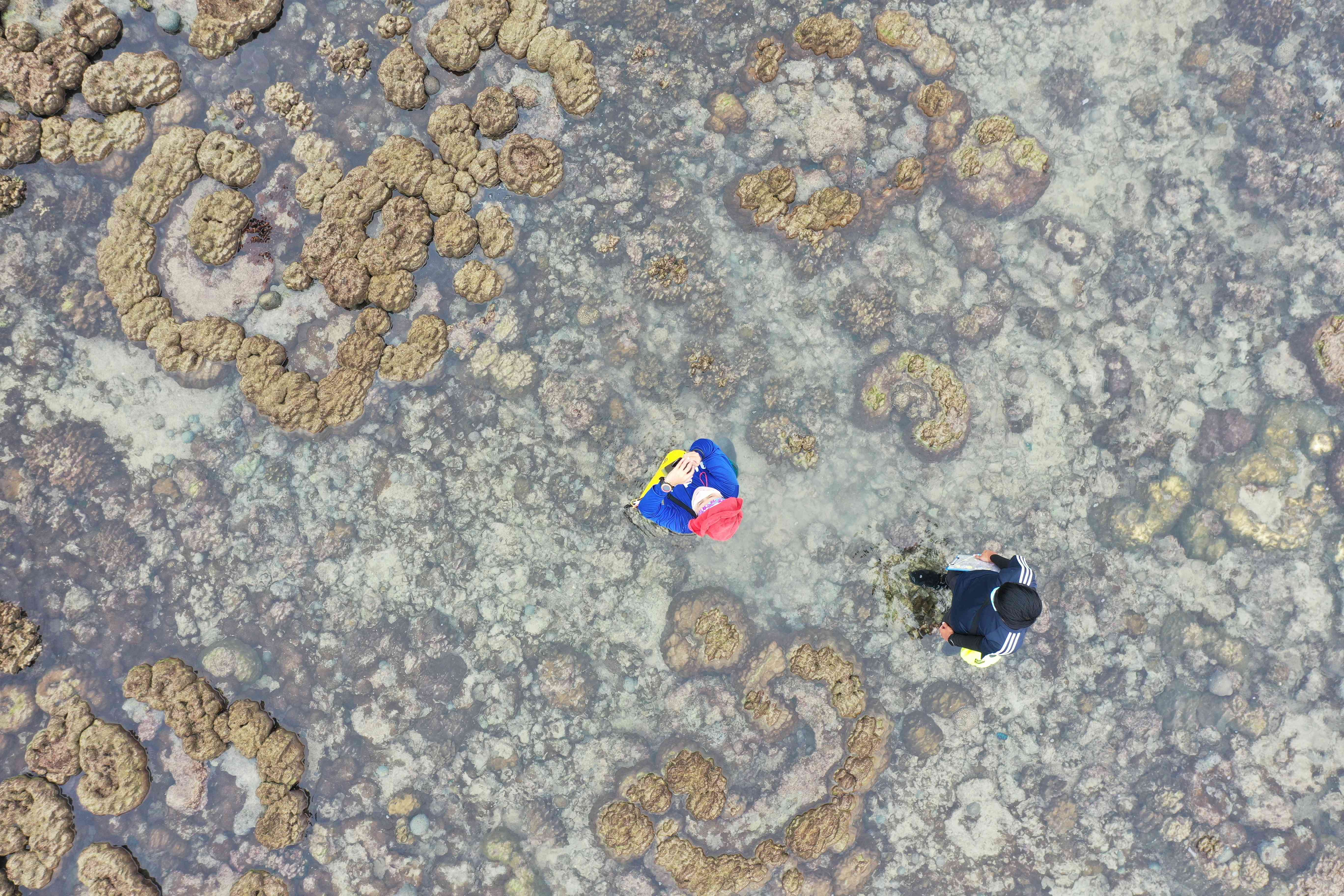
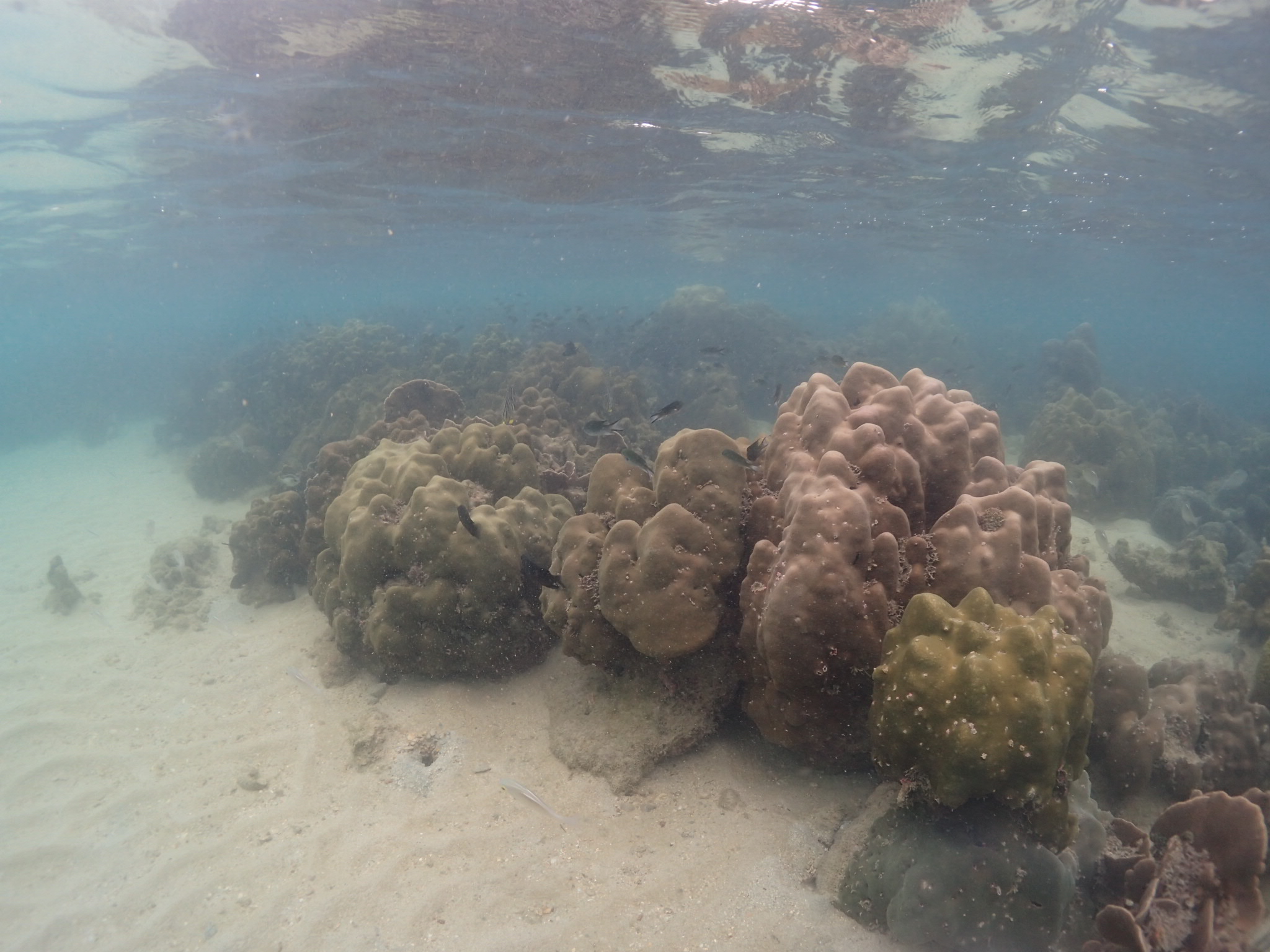
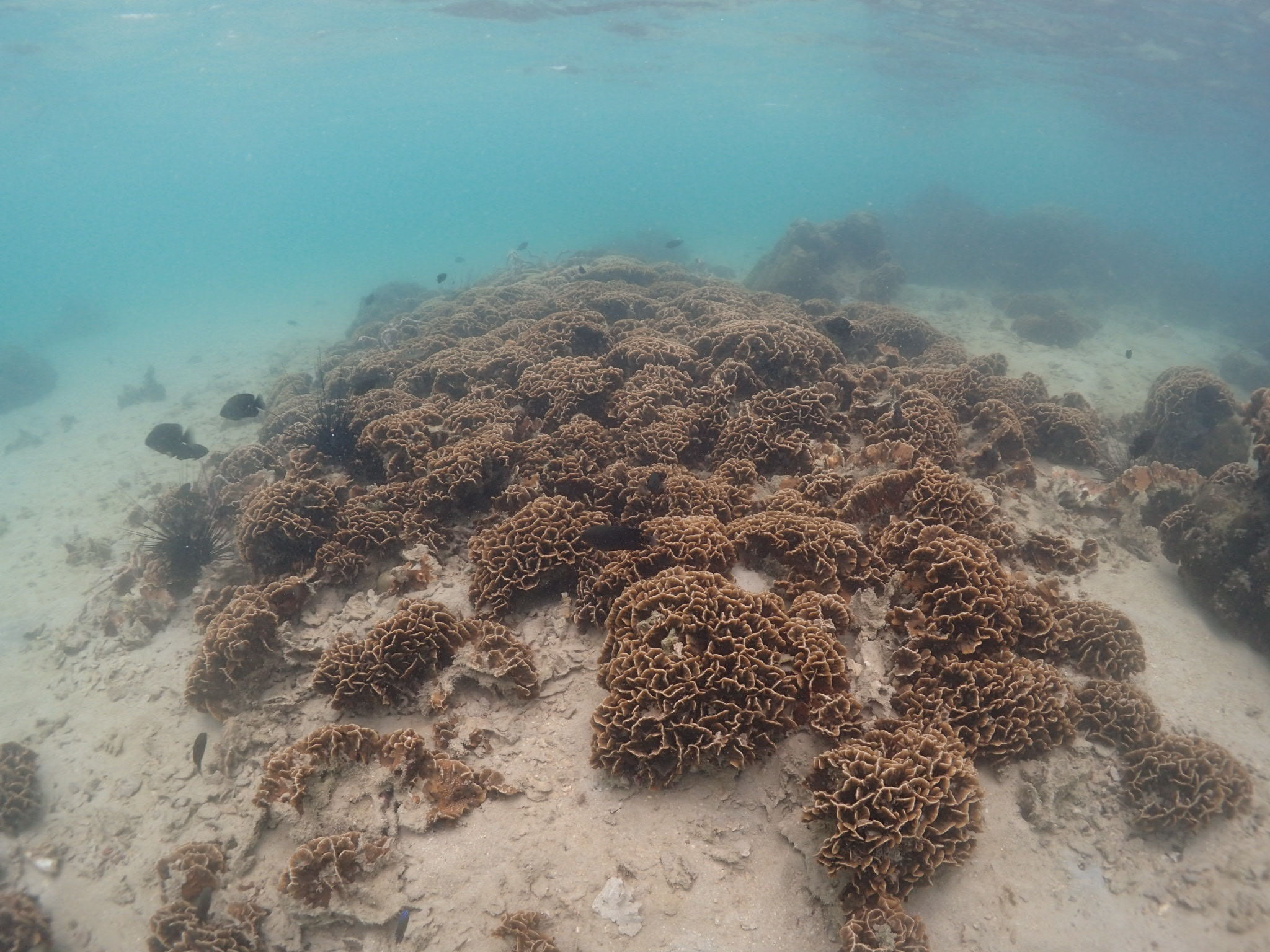
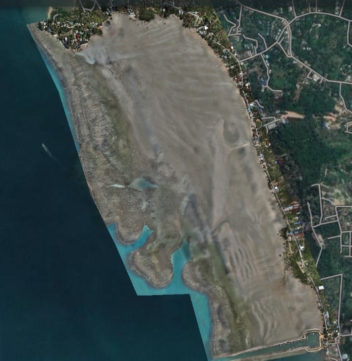
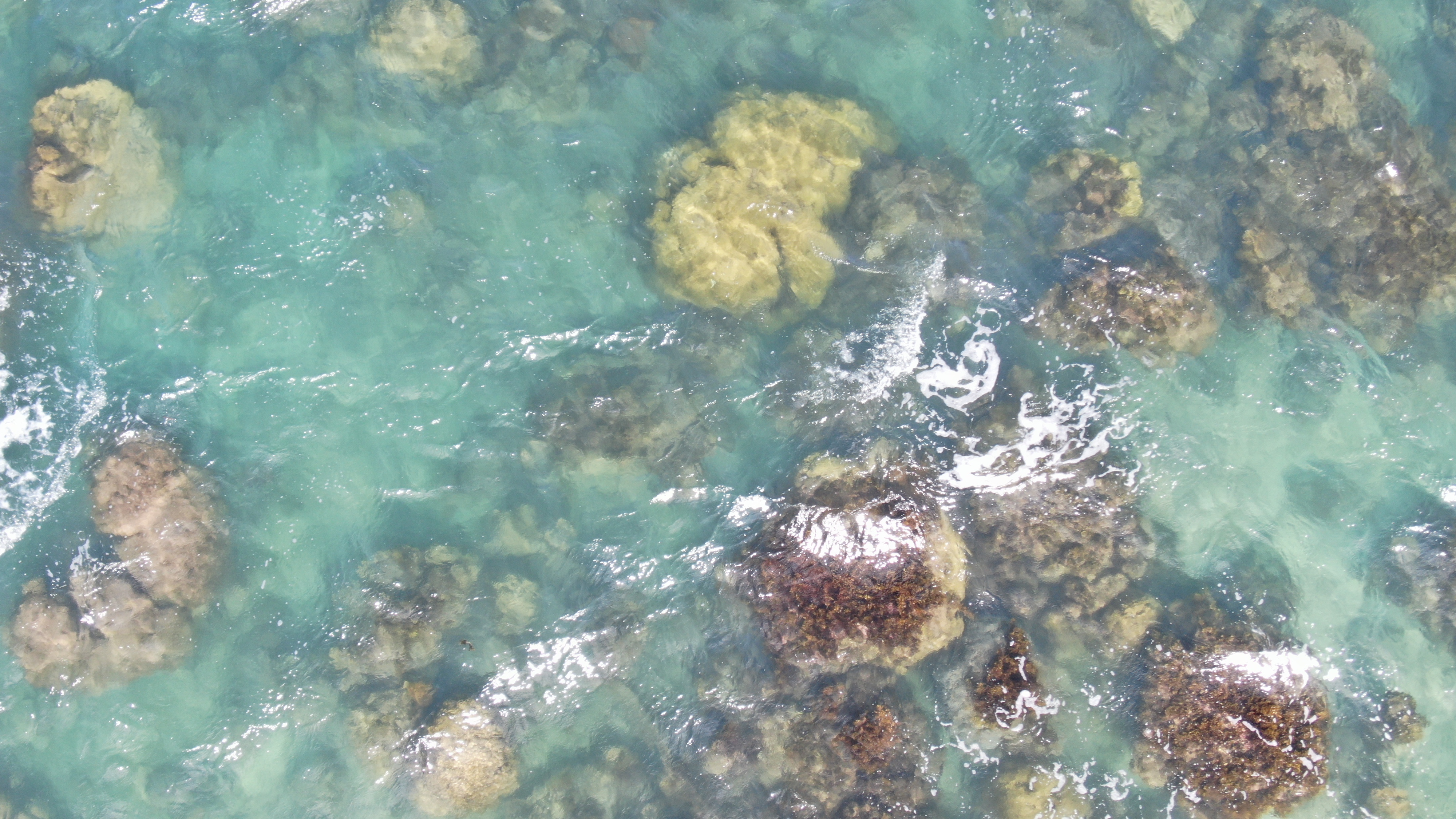
Results from multispectral imagery from drones together with field surveys by expert researchers are used for analysis. The drone’s camera can capture images in the multispectral wavelength range (wavelength visible to the human eye) and infrared wavelength to take pictures in the Red-Green-Blue (RGB Color) system. Surveys are conducted at the heights of 30 and 50 meters, covering an area of more than 100,000 square meters. Images obtained at 30 meters altitude provide more detail than those at an altitude of 50 meters and allowing to distinguish the algae that cover the coral bleaching. The green color seen in the photo represents the location of bleached corals covered in algae.
Studying coral bleaching and monitoring biological changes in the reef ecosystem is an effective method. The coral ecosystem and bleaching maps derived from the studies are with high accuracy and covering wider area than traditional surveying techniques (Manta Tow) or Life Form Transection Analysis, and to make surveying and analysis of biodiversity changes faster and more efficient.
|