|
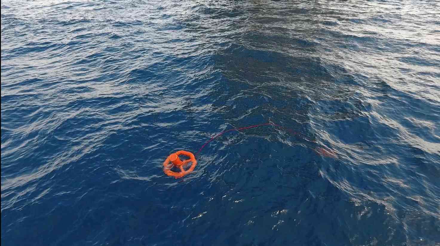
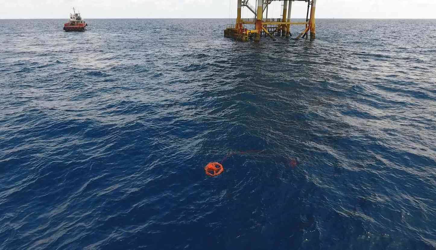
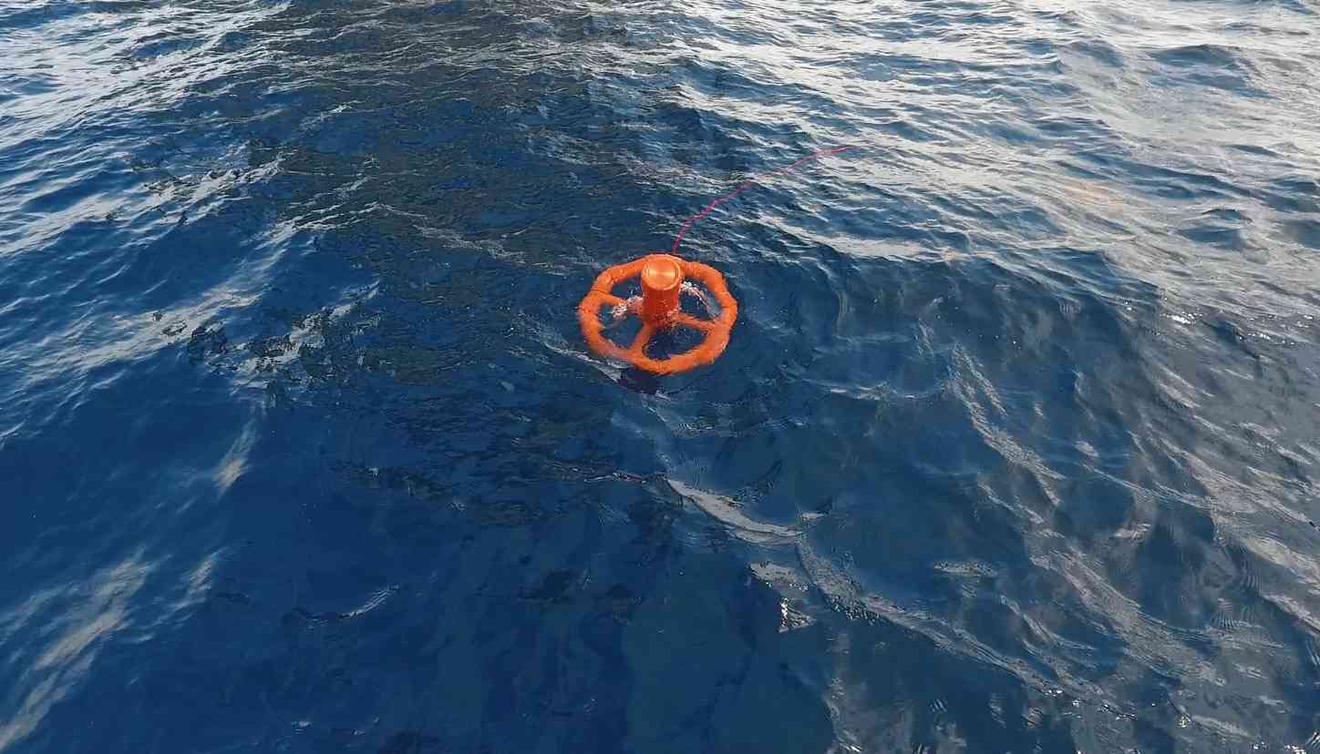
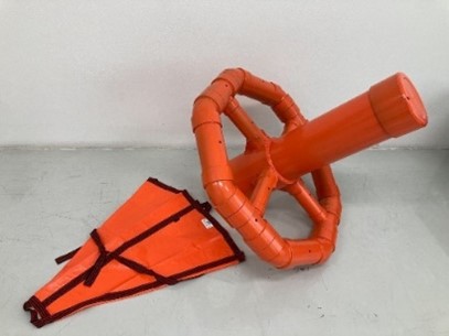
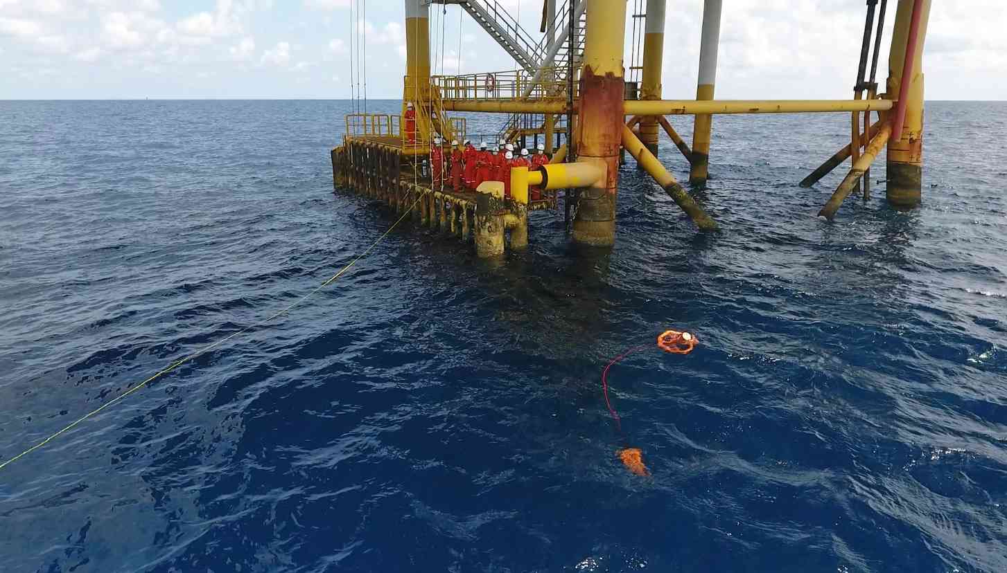
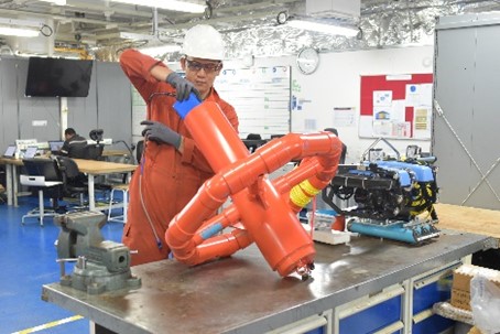
The project of “Development of ocean current mapping and seawater surface temperature study through the use of current mapper buoys and satellite tracking” aims to conduct scientific study of the ocean covering temperature and currents at seawater surface through the use of current mapper buoys equipped with a temperature sensor with location tracking by satellite technology. The ocean current buoy was developed by Thai researchers and has demonstrated reliable performance through field deployment. This project has been initiated under the collaboration between PTTEP, the Hydro-Informatics Institute (HII), and Kasetsart University.
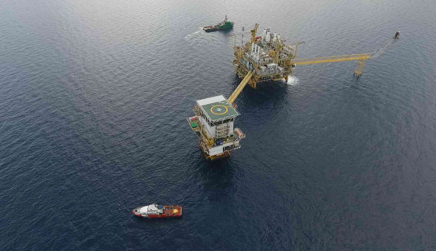
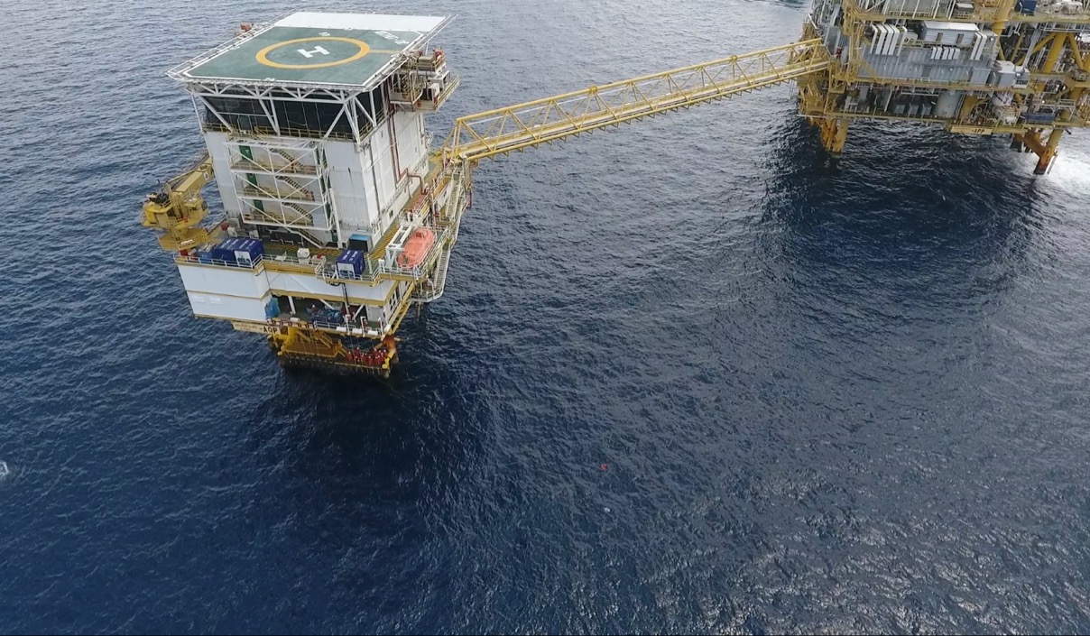
Between 2022 and 2025, PTTEP conducted 31 ocean current buoy deployments from offshore petroleum platforms and selected nearshore areas. Each buoy was equipped with GPS positioning, sea surface temperature sensors, and satellite telemetry, transmitting data every 20 minutes for approximately one month. This project generated over 17,000 km of trajectories across Northeast Monsoon, Southwest Monsoon, and transitional periods.
The study confirmed distinct monsoon-driven seasonal circulation patterns across the Gulf of Thailand. During the Northeast Monsoon, surface currents predominantly exhibited a counterclockwise circulation, transporting water masses from the upper toward the lower Gulf. In contrast, the Southwest Monsoon generated mainly clockwise circulation with partial outflow toward the South China Sea, while transitional periods showed gradual reorganization between the two circulation regimes.
The year-round dataset represents one of the first satellite-tracked buoy programs spanning multiple monsoon seasons in the Gulf of Thailand. The surface currents map and temperature were displayed on the Hydro-Informatics Institute (HII) platform and automatically transferred to display on PTTEP Ocean Data Platform as well. The results can be used as the key inputs for various ocean conservation and emergency plans and early warning system as well as the enhancement of ocean mathematical models such as marine debris dispersion prediction, climate change impact monitoring, potential impact to ecosystem and its human use prediction, etc. to integrate better of the oceanographic data in the Gulf of Thailand.
For more information please visit: Marine observation and modeling database system for oceanography research in Thailand (hii.or.th)
|